- GNSS software receiver / simulator with sensor fusion (in-house development)
- RF laboratory for the generation of GNSS signals
- GNSS constellation simulator (hardware simulator), commercial GNSS receiver
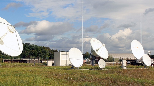
- Parabolic antenna for satellite signal analysis
- Inertial measurement units (RLG, FOG, MEMS) and commercial analysis software
- Optical reference systems (3D scanner, multi-station system)
- LiDAR measurement units
- Programmable multicopters and rotating arms for reference motions
- Wide variety of software tools (signal processing, positioning)
Our activities include theoretical studies, prototype hardware and software development, and application-oriented test campaigns. The range of navigation applications includes smartphones, autonomous driving and interplanetary flight, for example for asteroid mining.

A wide variety of measurement systems are available at the Institute and are used to check signals transmitted from satellites and to ensure compatibility with other radio services, for example.

A UAVlite test system is being established at the Institute in order to help us gain a precise understanding of the effects of signals in real environments. GNSS satellites are emulated by multicopters and transmit new navigation signals using a payload that has been developed at the Institute. A network of ground stations on the premises of the university receives these signals and determines UAVlite positions and clock errors. The UAVlite system is completed by a fixed GNSS testbed (terrestrial transmitter+receiver).

A GNSS software transceiver has been in development at the Institute since 2005. As a receiver, it can receive and analyze all current GNSS signals as well as future signal options. Different positioning methods, such as single point, carrier-phase (RTK/PPP) and fusion positioning (inertial, LiDAR), are available. As a GNSS simulator, the transceiver can simulate the GNSS constellation. Further software developments include applications for the detection of wrong-way driving or for augmented reality as well as tools for using GNSS in civil aviation.